When Your Living Room Becomes a Federal Highway
Dorothy Patterson thought she was buying a quiet farmhouse in rural Iowa when she signed the deed in 1978. What she didn't realize was that according to official federal highway maps, a 200-foot stretch of U.S. Highway 47 runs directly through her kitchen, living room, and front porch.
The discovery came during a routine property survey for a home improvement loan in 1983. Patterson's surveyor, checking his measurements against federal transportation maps, found something that made him call his office three times to confirm: the official route of Highway 47 didn't follow the actual paved road outside Patterson's house. Instead, it cut straight through her property, entering through her back garden and exiting through her front yard.
"I thought he was joking," Patterson recalls. "I asked him if that meant I could charge tolls for people walking through my kitchen. He didn't think it was funny."
The Surveying Error That Became Permanent
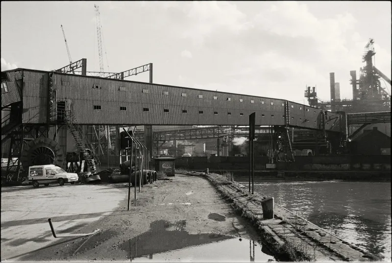
The mistake traces back to 1956, when federal highway planners were mapping routes for the expanding interstate system. A surveying team, working from aerial photographs and incomplete local maps, drew what they thought was the most logical path for Highway 47 through Jefferson County, Iowa.
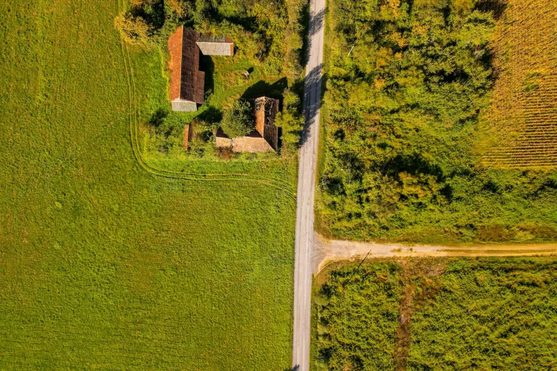
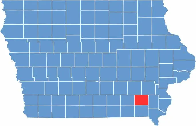 Photo: Jefferson County, Iowa, via uscountymaps.com
What they didn't account for was a small farmhouse that had been built in 1934, long before anyone imagined a federal highway coming through the area. When construction crews arrived to build the actual road, they sensibly routed around the existing structures. But nobody bothered to update the official maps.
For nearly three decades, this discrepancy went unnoticed. The highway existed in two versions: the real one that cars drove on, and the legal one that existed only on paper, cutting through Dorothy Patterson's property like a bureaucratic ghost.
The Legal Labyrinth Nobody Can Escape
When Patterson discovered the error, she assumed it would be simple to fix. A quick call to the county, perhaps a form to fill out, and the maps would be corrected. Instead, she found herself trapped in a legal maze that has persisted for over four decades.
The problem isn't just technical — it's constitutional. Officially designating a federal highway requires congressional approval and extensive environmental impact studies. Changing the designation, even to correct an obvious error, requires the same process. This means fixing a simple mapping mistake would cost hundreds of thousands of dollars and take years to complete.
Meanwhile, Patterson's property exists in a legal gray area. She owns the house and land, but the federal government maintains an easement for a highway that doesn't actually exist there. This creates complications for everything from insurance claims to property taxes.
The Bureaucratic Runaround That Never Ends
Over the years, Patterson has contacted everyone from local county commissioners to her congressional representatives. Each office expresses sympathy, promises to look into it, and eventually explains that fixing the problem is someone else's responsibility.
The Federal Highway Administration says they can only change maps based on actual road construction, which is handled by state departments of transportation. The Iowa Department of Transportation says they can't alter federal highway designations without federal approval. The county says it's not their jurisdiction because it's a federal highway. And Congress says they can't act on individual mapping errors without a formal request from the appropriate federal agency.
"It's like a game of hot potato," Patterson explains. "Nobody wants to be the one responsible for spending taxpayer money to fix something that doesn't actually affect anyone except me."
The Practical Consequences of Paper Reality
The mapping error might seem like a harmless bureaucratic footnote, but it has created real problems for Patterson and her family. When she tried to sell the property in 1995, the title search revealed the highway easement, complicating the sale and requiring extensive legal documentation to explain the situation to potential buyers.
Insurance companies have struggled to classify her property. Is it residential land or a federal highway? The distinction matters for coverage rates and claim procedures. One insurer initially tried to classify her homeowner's policy under their commercial highway coverage, which would have tripled her premiums.
Property tax assessments have been equally confusing. Local assessors aren't sure how to value land that's simultaneously private property and a federal highway. Some years her taxes reflect the highway easement with reduced residential value; other years they don't.
The Modern Mapping Mystery
Perhaps most frustratingly for Patterson, modern GPS and satellite mapping systems have made the error more visible, not less. Digital maps now clearly show the discrepancy between the official highway route and the actual road. Anyone can see that Highway 47 supposedly cuts through her house before rejoining the real road 200 feet later.
This digital evidence should make correction easier, but instead it has highlighted how entrenched the error has become. Federal databases, state records, and local planning documents all reference the incorrect route. Changing one map would require updating dozens of interconnected systems, each controlled by different agencies with different procedures.
The Solution That Isn't Coming
In 2019, Patterson's grandson, now a lawyer, made one more attempt to resolve the situation. His research uncovered similar cases in Montana, Nebraska, and Texas — other properties where federal highways exist on paper but not in reality. None have been successfully corrected.
The fundamental problem, legal experts explain, is that government systems are designed to create new regulations and designations, not to undo mistakes. Admitting an error requires acknowledging liability, which opens potential legal complications. It's often easier to leave the mistake in place and work around it.
Today, Dorothy Patterson still lives in the house that officially sits on a federal highway. She's learned to joke about it, telling visitors they're driving on her living room when they use Highway 47. But the underlying absurdity remains: in the digital age, with GPS satellites and precise mapping technology, the U.S. government still can't figure out how to move a highway 200 feet on paper to match where it actually exists in reality.
The case stands as a monument to bureaucratic inertia — proof that sometimes the most permanent things in government aren't laws or policies, but simple mistakes that become too complicated to fix.